
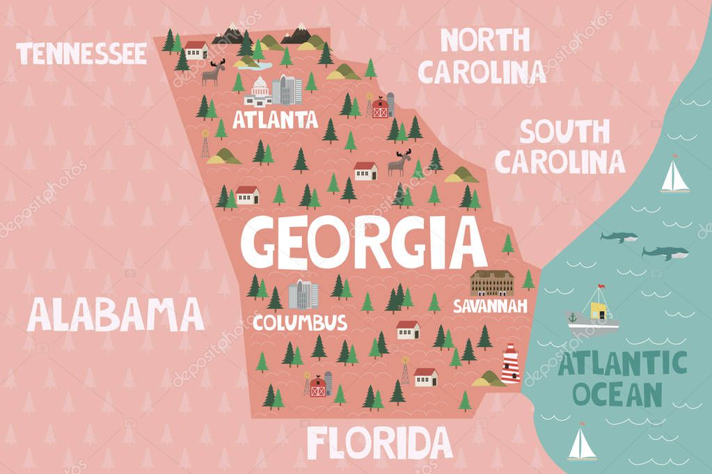
Illustrated map of the state of Georgia in United States with cities and landmarks. Ilustración vectorial editable
Esta foto
Illustrated map of the state of Georgia in United States with cities and landmarks. Ilustración vectorial editable.
Datos de la Imágen (tiene derechos de autor*)
- Fotografía:
-
Illustrated map of the state of Georgia in United States with cities and landmarks. Ilustración vectorial editable
- Autor:
- Ancho original:
-
3000 píxeles.
- Altura original:
-
1997 píxeles.
- Tamaño:
-
5.99 megapíxeles.
- Categorías:
-
- Palabras Clave:
-
país lago icono Atlanta América geografía Naturaleza cartografía Gráfico Savannah Estados Unidos buque Abstracto Animales paisaje símbolo faro Capital social Atlántico América nativa piso Mar arte mundo Bosque Parque nacional granja planta hito mapa viajes Detallado Montaña Turista Construir Georgia ciudad tierra Aislado Moderno Imprimible Rancho puertos frontera .
Popularidad
- Vistas:
- 367
- Descargas:
- 9
Fotos similares
Otros temas con fotografías que le puede interesar
- Georgia
- Bosque
- geografía
- mundo
- cartografía
- Montaña
- arte
- planta
- Imprimible
- Gráfico
- piso
- Animales
- símbolo
- lago
- Turista
- Moderno
- icono
- tierra
- América nativa
- Savannah
- Rancho
- faro
- buque
- Viajes
- país
- paisaje
- mapa
- Atlántico
- granja
- Aislado
- Construir
- Parque Nacional
- Detallado
- Capital social
- Estados Unidos
- Naturaleza
- frontera
- Mar
- ciudad
- Puertos
- América
- Atlanta
- Abstracto
- hito
(*) Sitio para adquirir: Link externo para Comprar
Fotografía de Illustrated map of the state of Georgia in United States with cities and landmarks. Ilustración vectorial editable, que incluye Illustrated map of the state of Georgia in United States with cities and landmarks. Ilustración vectorial editable.
Todas las imágenes por Depositphotos