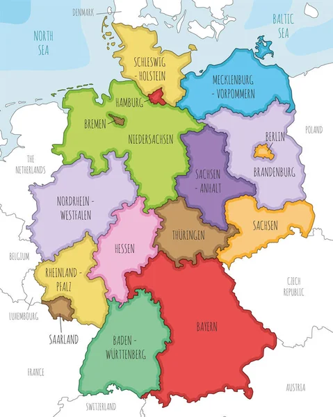
Vector illustrated map of Germany with federated states or regions and administrative divisions, and neighbouring countries. Editable and clearly labeled layers.
Esta foto
Vector illustrated map of Germany with federated states or regions and administrative divisions, and neighbouring countries. Editable and clearly labeled layers..
Datos de la Imágen (tiene derechos de autor*)
- Fotografía:
-
Vector illustrated map of Germany with federated states or regions and administrative divisions, and neighbouring countries. Editable and clearly labeled layers.
- Autor:
- Ancho original:
-
4000 píxeles.
- Altura original:
-
5000 píxeles.
- Tamaño:
-
20 megapíxeles.
- Categorías:
-
- Palabras Clave:
-
Colorido fronteras Vecinos información módulo de aterrizaje Información general federado Alemania Brandeburgo Color diseño Territorios Infografías HAMBURGO maqueta blanco Contexto Física política mapa Europa Etiquetado vector Gráfico BERLÍN geografía Bayern Rheinland Provincias cartografía Ilustrado División estados océano español westfalen editable país Bremen ilustración tipografía nacional Detallado Aislado Administrativo regiones Baden capas Mar .
Popularidad
- Vistas:
- 28
- Descargas:
- 0

Fotos similares
Otros temas con fotografías que le puede interesar
- Mar
- Color
- federado
- Baden
- diseño
- blanco
- mapa
- Política
- westfalen
- Ilustrado
- ilustración
- Brandeburgo
- Territorios
- información
- módulo de aterrizaje
- Vecinos
- tipografía
- país
- vector
- Provincias
- Europa
- Rheinland
- editable
- HAMBURGO
- océano
- geografía
- estados
- cartografía
- Bremen
- Gráfico
- Colorido
- Administrativo
- español
- maqueta
- Infografías
- fronteras
- Física
- Detallado
- nacional
- Alemania
- Etiquetado
- BERLÍN
- División
- Contexto
- Aislado
- capas
- regiones
- Bayern
- Información general
(*) Sitio para adquirir: Link externo para Comprar
Fotografía de Vector illustrated map of Germany with federated states or regions and administrative divisions, and neighbouring countries. Editable and clearly labeled layers., que incluye Vector illustrated map of Germany with federated states or regions and administrative divisions, and neighbouring countries. Editable and clearly labeled layers..
Todas las imágenes por Depositphotos