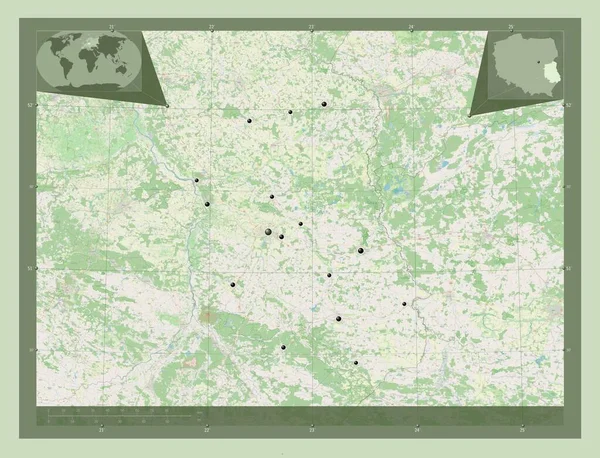
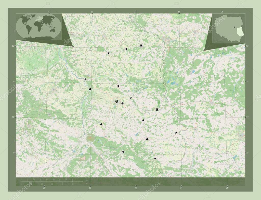
Lubelskie, voivodeship|province of Poland. Open Street Map. Locations of major cities of the region. Corner auxiliary location maps
Esta foto
Lubelskie, voivodeship|province of Poland. Open Street Map. Locations of major cities of the region. Corner auxiliary location maps.
Datos de la Imágen (tiene derechos de autor*)
- Fotografía:
-
Lubelskie, voivodeship|province of Poland. Open Street Map. Locations of major cities of the region. Corner auxiliary location maps
- Autor:
- Ancho original:
-
4930 píxeles.
- Altura original:
-
3770 píxeles.
- Tamaño:
-
18.59 megapíxeles.
- Categorías:
-
- Palabras Clave:
-
Zoom: Lublin Territorio forma frontera Ciencia bromuro de potasio Lukow división administrativa mundo Capital social región Leyenda tierra provincia Continente Krasnik Europa voivodato estereográfico POL contorno esquema océano lubarremolque quelmo país pulawy leczna planeta Tierras geografía Atlas mapa Lubelskie Deblin Polonia hrubieszow tomaszow lubelski miedzyrzec podlaski bilgoraj swidnik Zamosc biala podlaska Naturaleza .
Popularidad
- Vistas:
- 0
- Descargas:
- 0
Fotos similares
Otros temas con fotografías que le puede interesar
- Naturaleza
- Lukow
- voivodato
- país
- Lubelskie
- océano
- provincia
- POL
- contorno
- mapa
- Polonia
- planeta
- Territorio
- estereográfico
- Tierras
- quelmo
- Atlas
- geografía
- Europa
- frontera
- lubarremolque
- tierra
- leczna
- Continente
- Ciencia
- biala podlaska
- Lublin
- Zamosc
- esquema
- hrubieszow
- forma
- región
- bromuro de potasio
- tomaszow lubelski
- mundo
- Leyenda
- Deblin
- Capital social
- pulawy
- Krasnik
- división administrativa
- miedzyrzec podlaski
- swidnik
- Zoom:
- bilgoraj
(*) Sitio para adquirir: Link externo para Comprar
Fotografía de Lubelskie, voivodeship|province of Poland. Open Street Map. Locations of major cities of the region. Corner auxiliary location maps, que incluye Lubelskie, voivodeship|province of Poland. Open Street Map. Locations of major cities of the region. Corner auxiliary location maps.
Todas las imágenes por Depositphotos