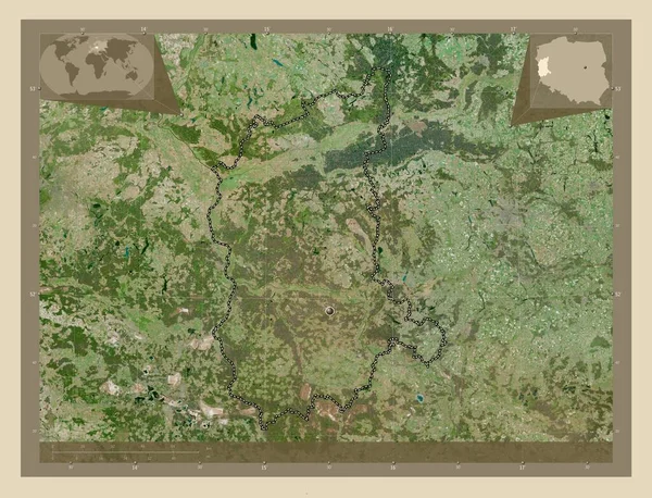
Lubuskie, voivodeship|province of Poland. High resolution satellite map. Corner auxiliary location maps
Esta foto
Lubuskie, voivodeship|province of Poland. High resolution satellite map. Corner auxiliary location maps.
Datos de la Imágen (tiene derechos de autor*)
- Fotografía:
-
Lubuskie, voivodeship|province of Poland. High resolution satellite map. Corner auxiliary location maps
- Autor:
- Ancho original:
-
4930 píxeles.
- Altura original:
-
3770 píxeles.
- Tamaño:
-
18.59 megapíxeles.
- Categorías:
-
- Palabras Clave:
-
Territorio tierra Capital social forma mapa Ciencia contorno océano esquema Zoom: Europa planeta POL frontera Continente geografía provincia división administrativa Naturaleza Lubuskie voivodato Polonia estereográfico mundo región país Tierras Atlas Leyenda Zielona gora .
Popularidad
- Vistas:
- 1
- Descargas:
- 0

Fotos similares
Otros temas con fotografías que le puede interesar
- Atlas
- Europa
- Polonia
- Continente
- estereográfico
- Zoom:
- mundo
- contorno
- división administrativa
- Capital social
- Leyenda
- mapa
- forma
- frontera
- Ciencia
- tierra
- Tierras
- geografía
- región
- POL
- Territorio
- esquema
- Lubuskie
- Naturaleza
- país
- voivodato
- provincia
- planeta
- Zielona gora
- océano
(*) Sitio para adquirir: Link externo para Comprar
Fotografía de Lubuskie, voivodeship|province of Poland. High resolution satellite map. Corner auxiliary location maps, que incluye Lubuskie, voivodeship|province of Poland. High resolution satellite map. Corner auxiliary location maps.
Todas las imágenes por Depositphotos