Slaskie, voivodeship|province of Poland. High resolution satellite map. Locations of major cities of the region. Corner auxiliary location maps
Esta foto
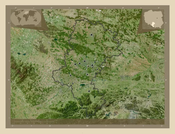
Slaskie, voivodeship|province of Poland. High resolution satellite map. Locations of major cities of the region. Corner auxiliary location maps.
Datos de la Imágen (tiene derechos de autor*)
- Fotografía:
-
Slaskie, voivodeship|province of Poland. High resolution satellite map. Locations of major cities of the region. Corner auxiliary location maps
- Autor:
- Ancho original:
-
4930 píxeles.
- Altura original:
-
3770 píxeles.
- Tamaño:
-
18.59 megapíxeles.
- Categorías:
-
- Palabras Clave:
-
planeta Ciencia Leyenda Bytom Europa ticina región siemianowice slaskie país Gliwice Atlas Czestochowa mapa provincia geografía POL jastrzebie zdroj Polonia Slaskie estereográfico Jaworzno Naturaleza rybnik frontera mundo Katowice Ruda Slaska Tierras Bielsko Biala Capital social esquema forma voivodato tierra océano contorno Zoom: división administrativa Continente Chorzow Sosnowiec Territorio myslowice Dabrowa gornicza Zabrze .
Popularidad
- Vistas:
- 0
- Descargas:
- 0

Fotos similares
Otros temas con fotografías que le puede interesar
- Katowice
- esquema
- rybnik
- myslowice
- estereográfico
- jastrzebie zdroj
- región
- forma
- Capital social
- océano
- Slaskie
- Ciencia
- Leyenda
- Continente
- Ruda Slaska
- Europa
- mundo
- tierra
- Atlas
- mapa
- Dabrowa gornicza
- frontera
- Territorio
- voivodato
- Tierras
- Naturaleza
- planeta
- contorno
- ticina
- Sosnowiec
- provincia
- país
- Bytom
- Polonia
- Czestochowa
- Gliwice
- Zoom:
- geografía
- POL
- Jaworzno
- Chorzow
- siemianowice slaskie
- Zabrze
- división administrativa
- Bielsko Biala
(*) Sitio para adquirir: Link externo para Comprar
Fotografía de Slaskie, voivodeship|province of Poland. High resolution satellite map. Locations of major cities of the region. Corner auxiliary location maps, que incluye Slaskie, voivodeship|province of Poland. High resolution satellite map. Locations of major cities of the region. Corner auxiliary location maps.
Todas las imágenes por Depositphotos