
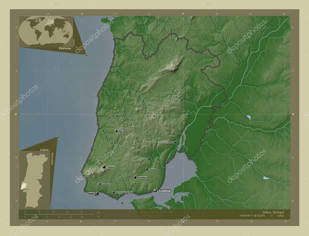
Lisboa, district of Portugal. Elevation map colored in wiki style with lakes and rivers. Locations and names of major cities of the region. Corner auxiliary location maps
Esta foto
Lisboa, district of Portugal. Elevation map colored in wiki style with lakes and rivers. Locations and names of major cities of the region. Corner auxiliary location maps.
Datos de la Imágen (tiene derechos de autor*)
- Fotografía:
-
Lisboa, district of Portugal. Elevation map colored in wiki style with lakes and rivers. Locations and names of major cities of the region. Corner auxiliary location maps
- Autor:
- Ancho original:
-
4930 píxeles.
- Altura original:
-
3770 píxeles.
- Tamaño:
-
18.59 megapíxeles.
- Categorías:
-
- Palabras Clave:
-
contorno Alcabideche Alverca Do Ribatejo planeta rio de mouro frontera Europa Territorio división administrativa Lisboa geografía Queluz las pérdidas forma Capital social esquema estereográfico mundo algueirao Atlas Oeiras país Zoom: Portugal Naturaleza Amadora Alenquer Leyenda región Tierras mapa Cascais Mafra distrito océano Odivelas Continente Sintra sao domingos de rana prt tierra Ciencia .
Popularidad
- Vistas:
- 0
- Descargas:
- 0
Fotos similares
Otros temas con fotografías que le puede interesar
- Ciencia
- mapa
- Europa
- región
- Tierras
- Odivelas
- rio de mouro
- Territorio
- sao domingos de rana
- planeta
- Mafra
- estereográfico
- mundo
- océano
- algueirao
- geografía
- Zoom:
- tierra
- Oeiras
- Naturaleza
- Alverca Do Ribatejo
- país
- contorno
- Portugal
- forma
- Amadora
- Leyenda
- prt
- Atlas
- división administrativa
- Lisboa
- Alcabideche
- Queluz
- esquema
- las pérdidas
- frontera
- Capital social
- Cascais
- distrito
- Continente
- Alenquer
- Sintra
(*) Sitio para adquirir: Link externo para Comprar
Fotografía de Lisboa, district of Portugal. Elevation map colored in wiki style with lakes and rivers. Locations and names of major cities of the region. Corner auxiliary location maps, que incluye Lisboa, district of Portugal. Elevation map colored in wiki style with lakes and rivers. Locations and names of major cities of the region. Corner auxiliary location maps.
Todas las imágenes por Depositphotos