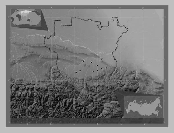
Chechnya, republic of Russia. Grayscale elevation map with lakes and rivers. Locations of major cities of the region. Corner auxiliary location maps
Esta foto
Chechnya, republic of Russia. Grayscale elevation map with lakes and rivers. Locations of major cities of the region. Corner auxiliary location maps.
Datos de la Imágen (tiene derechos de autor*)
- Fotografía:
-
Chechnya, republic of Russia. Grayscale elevation map with lakes and rivers. Locations of major cities of the region. Corner auxiliary location maps
- Autor:
- Ancho original:
-
4930 píxeles.
- Altura original:
-
3770 píxeles.
- Tamaño:
-
18.59 megapíxeles.
- Categorías:
-
- Palabras Clave:
-
Territorio avtury Grozny esquema gekhi Naturaleza tierra región océano Chechenia urus martan gudermes RUSIA estereográfico Leyenda forma Continente mundo katar yurt goyty sernovodskoye Eurasia República Federal de Alemania Tierras mapa Shali mayrtup Argún geografía Zoom: frontera planeta Capital social Ciencia Atlas tsotsi yurt achkhoy martan división administrativa país bachi yurt MOSCÚ geldagan kurchaloy contorno Rus .
Popularidad
- Vistas:
- 0
- Descargas:
- 0

Fotos similares
Otros temas con fotografías que le puede interesar
- gudermes
- avtury
- RUSIA
- Naturaleza
- bachi yurt
- kurchaloy
- geografía
- planeta
- océano
- Shali
- Eurasia
- Tierras
- Ciencia
- Grozny
- forma
- geldagan
- Leyenda
- goyty
- Chechenia
- República Federal de Alemania
- Argún
- Continente
- Atlas
- urus martan
- Territorio
- Capital social
- país
- MOSCÚ
- tsotsi yurt
- mapa
- frontera
- katar yurt
- tierra
- región
- sernovodskoye
- achkhoy martan
- estereográfico
- Zoom:
- división administrativa
- gekhi
- mundo
- esquema
- mayrtup
- Rus
- contorno
(*) Sitio para adquirir: Link externo para Comprar
Fotografía de Chechnya, republic of Russia. Grayscale elevation map with lakes and rivers. Locations of major cities of the region. Corner auxiliary location maps, que incluye Chechnya, republic of Russia. Grayscale elevation map with lakes and rivers. Locations of major cities of the region. Corner auxiliary location maps.
Todas las imágenes por Depositphotos