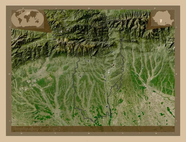
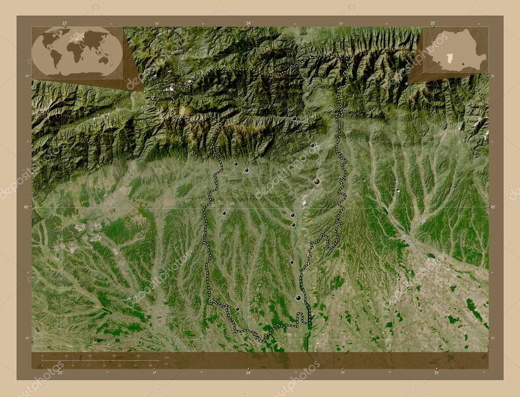
Valcea, county of Romania. Low resolution satellite map. Locations of major cities of the region. Corner auxiliary location maps
Esta foto
Valcea, county of Romania. Low resolution satellite map. Locations of major cities of the region. Corner auxiliary location maps.
Datos de la Imágen (tiene derechos de autor*)
- Fotografía:
-
Valcea, county of Romania. Low resolution satellite map. Locations of major cities of the region. Corner auxiliary location maps
- Autor:
- Ancho original:
-
4930 píxeles.
- Altura original:
-
3770 píxeles.
- Tamaño:
-
18.59 megapíxeles.
- Categorías:
-
- Palabras Clave:
-
ocnele mari Valcea baile govora Capital social tierra Horezu dealu alunis mapa Atlas mundo Leyenda dragasani prajila brezoi Naturaleza Calimanesti Tierras Zoom: planeta región orlesti Rumanía esquema Territorio forma océano valea mare ramnicu valcea estereográfico contorno Bucarest país vaideeni división administrativa babeni Rou Europa geografía provincia Ciencia jiblea veche Continente goranu frontera balcesti .
Popularidad
- Vistas:
- 0
- Descargas:
- 0
Fotos similares
Otros temas con fotografías que le puede interesar
- océano
- Valcea
- Rou
- Atlas
- Bucarest
- dealu alunis
- baile govora
- país
- forma
- ramnicu valcea
- mundo
- Horezu
- estereográfico
- Territorio
- valea mare
- brezoi
- Continente
- contorno
- babeni
- esquema
- Tierras
- tierra
- frontera
- ocnele mari
- geografía
- Ciencia
- balcesti
- división administrativa
- planeta
- Leyenda
- mapa
- Zoom:
- prajila
- Europa
- dragasani
- vaideeni
- provincia
- Rumanía
- Naturaleza
- Capital social
- orlesti
- región
- goranu
- jiblea veche
- Calimanesti
(*) Sitio para adquirir: Link externo para Comprar
Fotografía de Valcea, county of Romania. Low resolution satellite map. Locations of major cities of the region. Corner auxiliary location maps, que incluye Valcea, county of Romania. Low resolution satellite map. Locations of major cities of the region. Corner auxiliary location maps.
Todas las imágenes por Depositphotos