
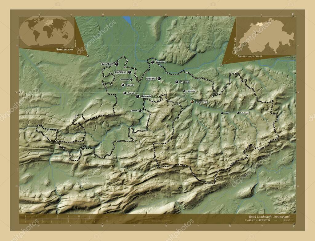
Basel-Landschaft, canton of Switzerland. Colored elevation map with lakes and rivers. Locations and names of major cities of the region. Corner auxiliary location maps
Esta foto
Basel-Landschaft, canton of Switzerland. Colored elevation map with lakes and rivers. Locations and names of major cities of the region. Corner auxiliary location maps.
Datos de la Imágen (tiene derechos de autor*)
- Fotografía:
-
Basel-Landschaft, canton of Switzerland. Colored elevation map with lakes and rivers. Locations and names of major cities of the region. Corner auxiliary location maps
- Autor:
- Ancho original:
-
4930 píxeles.
- Altura original:
-
3770 píxeles.
- Tamaño:
-
18.59 megapíxeles.
- Categorías:
-
- Palabras Clave:
-
esquema basilea campiña mundo Suiza contorno océano Arlesheim frenkendorf Bottmingen región Europa Pratteln Territorio Aesch división administrativa gelterkinden cantón therwil estereográfico Allschwil geografía Zoom: Leyenda Oberwil forma reinach Atlas mapa Tierras tierra Birsfelden sissach Liestal Muttenz Naturaleza Che frontera Binningen planeta Continente país Berna Capital social Ciencia .
Popularidad
- Vistas:
- 0
- Descargas:
- 0
Fotos similares
Otros temas con fotografías que le puede interesar
- gelterkinden
- Europa
- contorno
- Arlesheim
- frenkendorf
- Leyenda
- mapa
- estereográfico
- Pratteln
- Che
- Zoom:
- Berna
- Tierras
- Atlas
- tierra
- geografía
- Continente
- cantón
- therwil
- frontera
- Suiza
- Allschwil
- esquema
- basilea campiña
- Capital social
- reinach
- Binningen
- Territorio
- Liestal
- país
- Bottmingen
- Naturaleza
- forma
- Muttenz
- Oberwil
- región
- Birsfelden
- Ciencia
- división administrativa
- océano
- Aesch
- sissach
- mundo
- planeta
(*) Sitio para adquirir: Link externo para Comprar
Fotografía de Basel-Landschaft, canton of Switzerland. Colored elevation map with lakes and rivers. Locations and names of major cities of the region. Corner auxiliary location maps, que incluye Basel-Landschaft, canton of Switzerland. Colored elevation map with lakes and rivers. Locations and names of major cities of the region. Corner auxiliary location maps.
Todas las imágenes por Depositphotos